

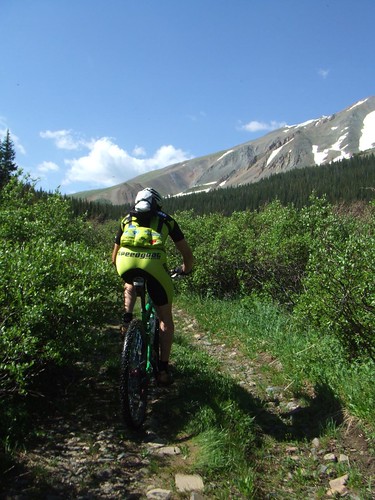
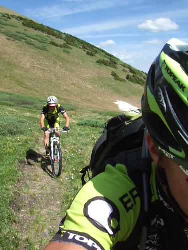
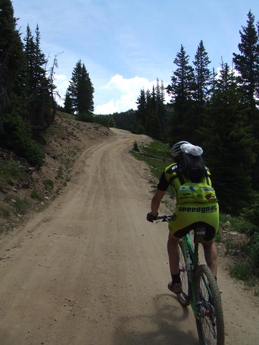
On paper, the route up French Pass is classified as a road. A road my ass! The road was actually closed down some time ago. So now it is only accessed by foot, bike, yak, and other load carrying animals. The road sort of exists....but it is mostly single track.
 It's pretty much a solid climb from about 9,000 ft up to the pass which sits at 12,046. It leveled out every once and a while.
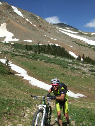
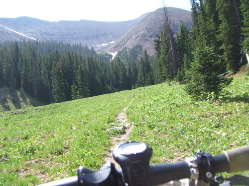
The map says the final parts of the climb are "difficult." I was not sure what we would get into. Would it be steep? Super rocky? Or both? It was the steepness that was getting our race tired legs a good butt kicking.
There were a few sections that allowed us to still ride....but is was granny gear all the way for us. Slow and steady. But, the views up here help to shed away any fatigue or pain.
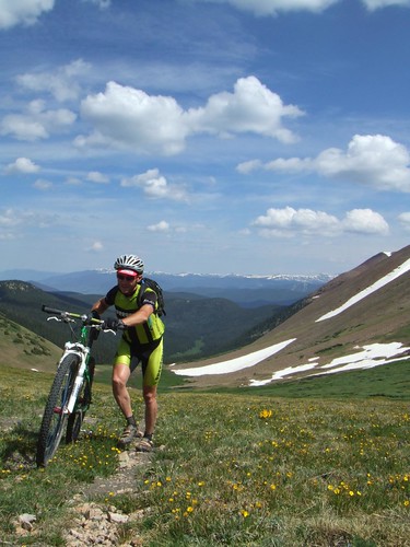
The final 200 yards was a good push. We came up from the lush green valley below.
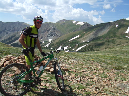 Finally, the summit of French Pass. The views are priceless. The best part, as we were standing here....my cell phone rang. It was deep in my Ergon BD2 pack so I was unable to answer it. But for future reference....there is cell phone coverage up here. Ha!
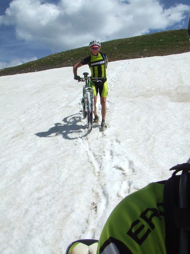
"Hey Ernesto, when is the last time you saw snow?" Ernesto says, "Oh, sometime in March." I then say "Hey Ernesto, make a snow angel...I'll take your picture." Right off the summit of French Pass was about 500 yards of snow we had to get down to get back on our trail to the base of Old Georgia Pass Rd. Figured the south side of the pass would be snow free....but I guess not. Once we hooked up back on the trail it was a rip'n singletrack descent to a Forest Service road.
Ernesto and myself dropped down about 1,000 ft on some single track before we emptied out onto this road. Once again is was up, up, up to Georgia Pass.
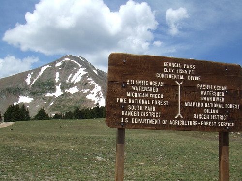 Another climb results in another mountain pass. This time topping out at 11,585 on Georgia Pass. The mountain behind the sign....French Pass is on the back side.
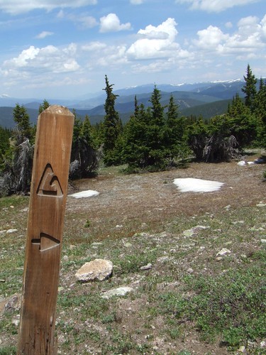
After the summit of Georgia Pass we climbed another 1/2 mile or so until we reached the intersection with the Colorado Trail. From here is was a downhill joy ride to Tiger Run Rd.
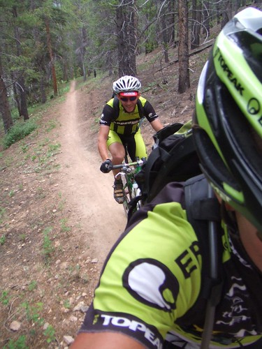
The initial drop into the Colorado Trail is fast and flowly until you reach the tree line. Then the trail gets all technical with rocks and roots. Then you get a bit lower and it turns into a buff magical carpet ride. Weeeeeeeeeeee!
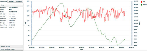 Todays ride profile. The best part, is I get to do it all over again tomorrow....but use a different route of course. The ride today ended up being just over 5 hours....shy of the 6 hr mark due to lightening and storms rolling in. As I type this...it is raining pretty good.
Here are all the photos from todays ride. The 'Goat has some as well.